Installed at some point between 1936 and 1940, Peebles’ two OS flush brackets sit unobtrusively at opposite ends of the High Street, but you can be forgiven for passing them by unnoticed, as only those with a particular interest in geodetic levelling along the Thankerton to Innerleithen line would be likely to seek them out.
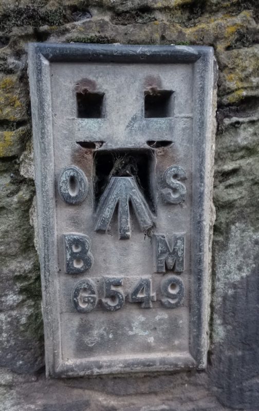
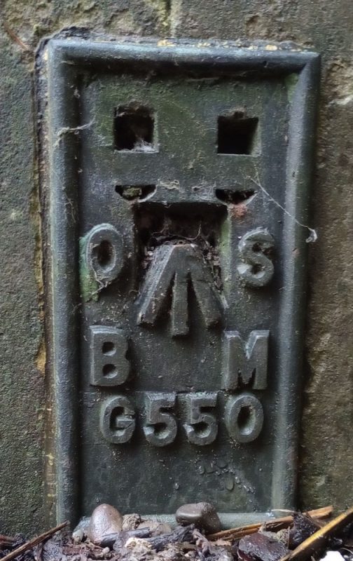
Made of brass and measuring just 90mm x 175mm each one bears a unique serial number which is used to identify the bench mark. This allows surveyors to calculate the level of any point relative to Ordnance Survey’s Newlyn datum which has a base height of zero.
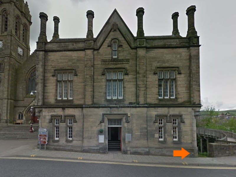
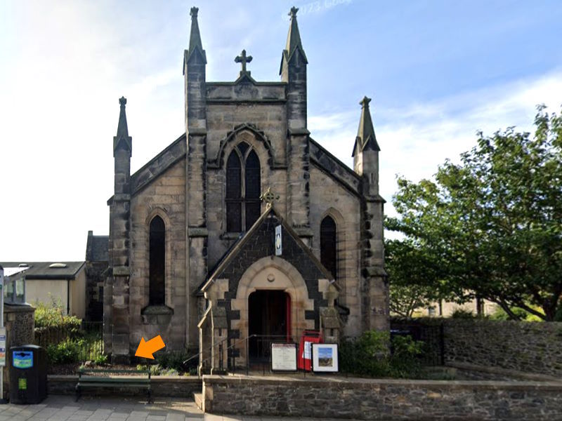
The west-end flush bracket has a bench mark height or elevation of 541.421 feet, whilst the east-end flush bracket has an elevation of 551.261, which indicates that the west-end bracket sits approximately 10 feet lower than the east-end one.
For those with an interest in how the brackets would have been used, there’s an explanitory YouTube video on the topic. It’s fair to say that it’s not the slickest of productions, but if you bear with it, it does provide a clear explanation.
